Map of Trinidad and Tobago:
And Where Are These Islands Located?
Looking for a map of Trinidad and Tobago before you head down there to do some scuba diving? We have several for you.
As you'll see, it's way down in the southern Caribbean, right off the coast of Venezuela. So get ready for some flying (actually, both in the air and in the water if you are going there to dive).

The first map we have is a map of the Caribbean, so you can see where Trinidad and Tobago are located. Look all the way down south, in the southeast corner of the Caribbean. Yep, all the way down there.
The next maps of Trinidad and Tobago show the islands in increasing detail. We follow with just a map of Tobago so you can see where you are going for that scuba diving trip!
Speyside which is generally considered to have the best diving and where we stayed, is located on the opposite side of the island from the airport. If you go, get ready for a long and windy ride.
Next, we get the the fun part. The interactive Trinidad and Tobago maps. You can click on the arrows to zoom in on the area you want to see. Give it a try, it's alot of fun.
We have 3 interactive maps for you. The first is a map of Tobago alone. You can zoom in and see Blue Waters Inn and their dock in Speyside.

Like this costume, Carnival is huge in Trinidad and Tobago. I know it's not a map but it's fun.
Next we have 2 interactive maps of the islands. The first map of Trinidad and Tobago is an interactive road map and the second is an interactive satellite view of the islands.
So zoom in and see where you are going. I could spend hours fooling around with these maps - it's pretty cool.
Maps of Trinidad and Tobago


This detailed map of Trinidad and Tobago is courtesy of www.gfmer.ch.

This Tobago map is courtesy of Ministry of Tourism for Trinidad and Tobago.

Interactive Map of Trinidad and Tobago
Here are the interactive maps I mentioned earlier. Give it a try, it's alot of fun! Just click on the arrows to zoom in to the area you are interested in.
Here is my favorite map - the interactive satellite map of the islands. So cool. See what is there before you get there.
To help you out a little, for all those going to Tobago here is a map of Tobago alone to start with. Same as above, just click on the arrows to really narrow in on the area you are interested in. Enjoy!
Have a great trip to Trinidad and Tobago! Drop us a line and let us know how your trip went. We would love to hear.
If you need some general information on Tobago (weather, water temps, hotels, flights, etc.), you can check our introduction to Tobago here.
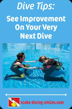
Want to stay down longer and improve your buoyancy control and other diving skills? Our free report "Increase Your Bottom Time" along with our practical, weekly actionable tips will have you looking like a seasoned diver in no time. So come join us and see improvement on your very next dive!
(Click on the photo to join us now!)

What's New
-
Happy New Year
Jan 01, 24 06:00 AM
Happy New Year everyone! I hope everyone is well and had a fun New Years Eve! May your new year be filled with lots of wonderful dives. All the best to you and yours in 2024! Let the dives begin. -
Happy Holidays
Dec 14, 23 05:05 AM
I hope everyone is enjoying the holiday season! I am always amazed at how fast time flies and another year is just around the corner. I wanted to pop in and say hi to everyone. I am doing some full ti… -
3 Common Scuba Diving Mistakes New Divers Make
Feb 23, 23 02:18 PM
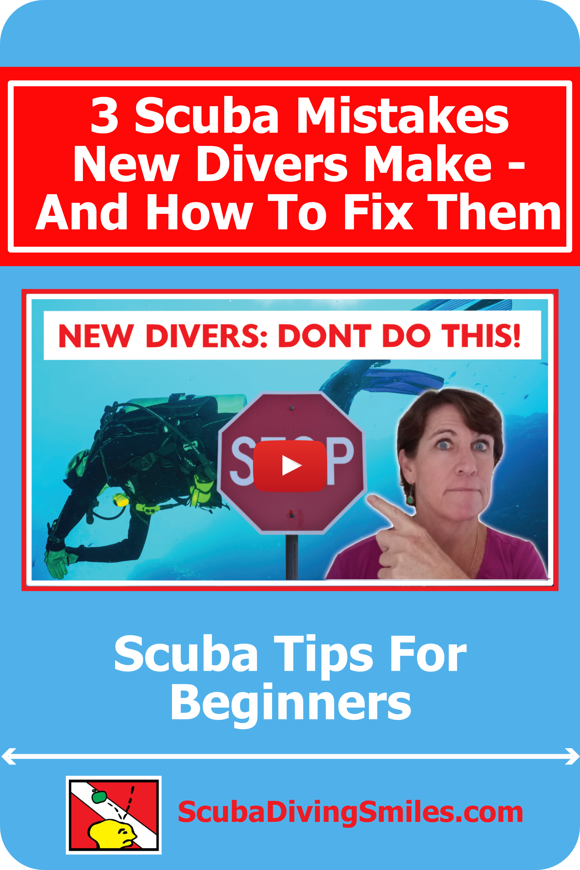 In this video, I share 3 common scuba diving mistakes beginner divers make. Learn how to correct these for a better - and safer - dive.
 -
Scuba Diving Tipping Etiquette: How Much And When To Tip Scuba Crew
Feb 06, 23 03:34 PM
 Not sure of scuba diving tipping etiquette? In this video I share who to tip, when to tip, how much to tip, tipping on liveaboards, tipping an instructor & more
 -
Scuba Diving Tips For First Time
Jan 29, 23 05:41 PM
 These scuba diving tips for first time divers will help improve buoyancy control, air consumption, equalization and boat diving. Improve on your very next dive!
Top of Map of Trinidad and Tobago
Picture of Carnival by Ulrich Berkner. Thanks!
Click below to grab our free report and weekly actionable tips:

Popular Pages
 |
 |
 |
 |


Recent Articles
-
Happy New Year
Jan 01, 24 06:00 AM
Happy New Year everyone! I hope everyone is well and had a fun New Years Eve! May your new year be filled with lots of wonderful dives. All the best to you and yours in 2024! Let the dives begin. -
Happy Holidays
Dec 14, 23 05:05 AM
I hope everyone is enjoying the holiday season! I am always amazed at how fast time flies and another year is just around the corner. I wanted to pop in and say hi to everyone. I am doing some full ti… -
3 Common Scuba Diving Mistakes New Divers Make
Feb 23, 23 02:18 PM
In this video, I share 3 common scuba diving mistakes beginner divers make. Learn how to correct these for a better - and safer - dive.
New! Comments
Have your say about what you just read! Leave me a comment in the box below.